Adding Aerial Imagery to Global Mapper
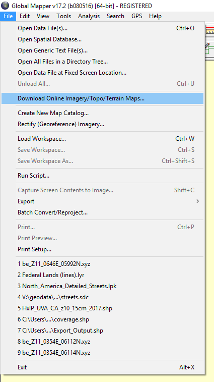
1. Navigate to File > Download Online Imagery/Topo/Terrain Maps.
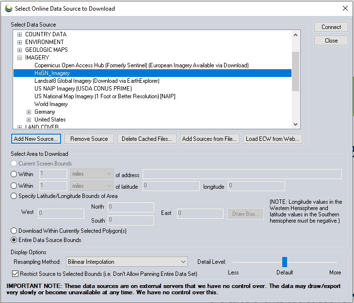
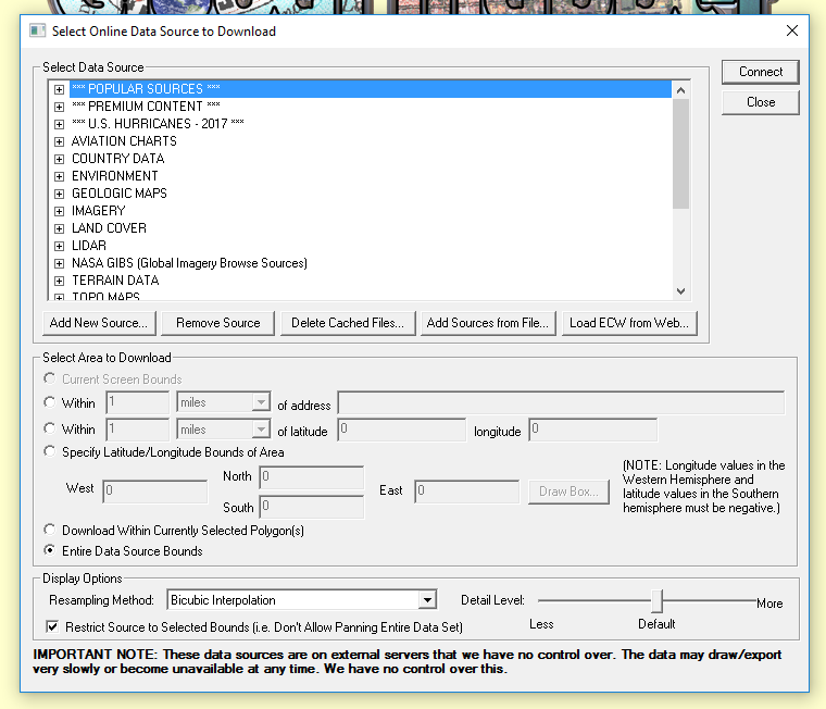
2. The Select Online Data Source to Download window will open.
Click on “Add New Source.” From the drop-down list, select “WMTS (Tiled WMS)” and click on “OK.”
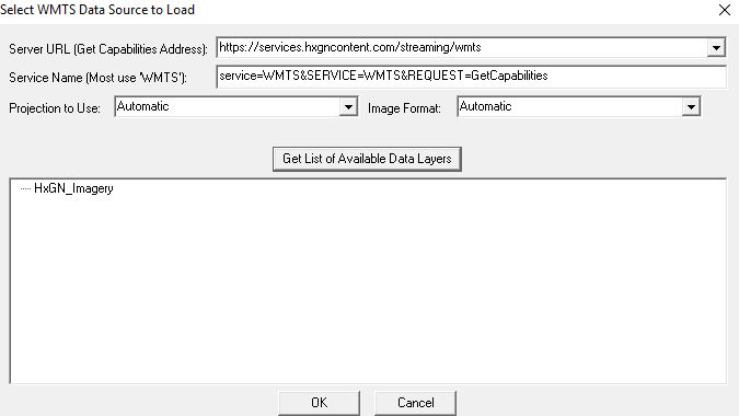
3. Once the Select WMTS Data Source to Load window opens, complete the following steps:
Add the URL:
http://services.hxgncontent.com/streaming/wmtsClick on “Get List of Available Data Layers”
Enter your username and password
Select the service you want and click on “OK”
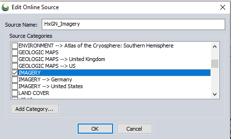
4. The Edit Online Source window will open. Select “Imagery” and click on “OK.”
The connection to the streaming service has been made and is shown in the list of data sources. Click on “Connect” and the streaming data will be added to your Global Mapper project.