Adding Aerial Imagery as WMS to ArcGIS Online
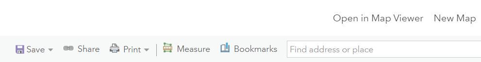
Open your map in Map Viewer.
2. Click on “Add” and select “OGC WMS web service.”
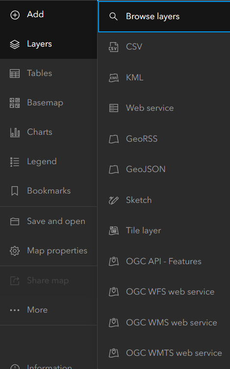
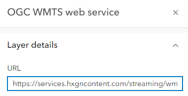
3. The “OGC WMS web service” window will open.
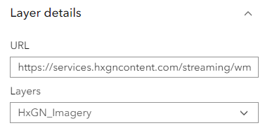
In the URL field, add the URL: https://services.hxgncontent.com/streaming/wms
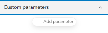
Click on “Custom Parameters” and click on “Add Parameters”
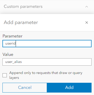
4. Enter the parameter's userid and fill in the value parameter with your username. Click on “Add.”
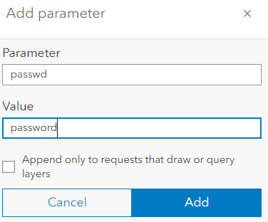
5. Enter the parameter's passwd and fill in the value parameter with your username. Click on “Add.”
6. Select “HxGN_Imagery” from the Layers drop-down list and click on “Add to map.”